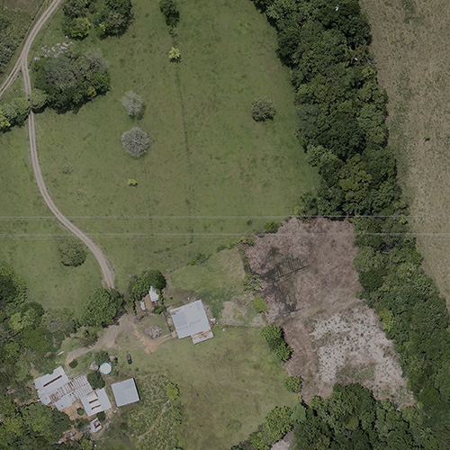
The Geospatial Research, Analysis, and Services Program (GRASP) uses geospatial science, analysis, technology, and visualization to examine the relationship between place and health. McKing developed the GRASP website to showcase the role of geospatial science in advancing ATSDR’s mission; promote the importance of the relationship between place and health; and connect the geospatial community to share information, collaborate on initiatives, and promote/facilitate the advancement of initiatives supporting the examination of place and health. The goal of the website is to highlight the role of geospatial science and technology in advancing public health research and practice for a varied audience, including the general public, researchers and students, potential partners, public health professionals, and those at all levels of knowledge about geographic information systems (GIS)—from beginners to experienced GRASP users.
McKing handled project coordination and worked collaboratively with the GRASP technology contractor on all stages of developing the website, including technology and content. McKing developed content (planning and writing), marketing, and digital media, and worked closely with the UX/UI development team. McKing is also responsible for monitoring and evaluation, survey design, data collection, and evaluating site metrics.
McKing conducted the background and research needed to develop this website. This included identifying criteria for prioritizing GRASP’s most relevant and impactful work, reviewing CDC’s sensitive topics list to identify controversial studies, conducting a content audit of existing GIS CDC/ATSDR websites, reviewing and analyzing stakeholder survey results to inform content strategy and design, finding appropriate images, and reviewing the CDC Web Policy to ensure adherence throughout development.
The website launched in September 2020; in October 2020, the website team received the CDC’s Health Literacy Hero Award in the New Initiative category.


